Derrynoose Townlands (Doire N?is)
Introduction
The photograph on this page of Derrynoose Townlands (Doire N?is) by Kenneth Allen as part of the Geograph project.
The Geograph project started in 2005 with the aim of publishing, organising and preserving representative images for every square kilometre of Great Britain, Ireland and the Isle of Man.

There are currently over 7.5m images from over 14,400 individuals and you can help contribute to the project by visiting https://www.geograph.org.uk
Derrynoose Townlands (Doire N?is)
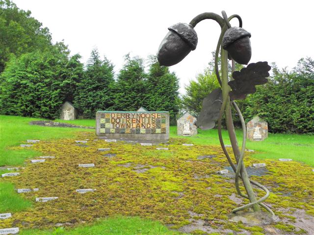
Image: © Kenneth Allen Taken: 14 Sep 2012
The townlands are located on the ground in front of the tiled display Note the stations of the cross, each one featuring a local family Image] More at http://en.wikipedia.org/wiki/Derrynoose
Images are licensed for reuse under creativecommons.org/licenses/by-sa/2.0
Image Location
Latitude
54.232845
Longitude
-6.784061