One track into two, Weston-super-Mare
Introduction
The photograph on this page of One track into two, Weston-super-Mare by Jaggery as part of the Geograph project.
The Geograph project started in 2005 with the aim of publishing, organising and preserving representative images for every square kilometre of Great Britain, Ireland and the Isle of Man.

There are currently over 7.5m images from over 14,400 individuals and you can help contribute to the project by visiting https://www.geograph.org.uk
One track into two, Weston-super-Mare
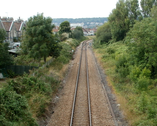
Image: © Jaggery Taken: 27 Jul 2011
Viewed from this http://www.geograph.org.uk/photo/3132592 bridge. The railway line becomes double track ahead on the approach to Weston-super-Mare railway station.
Images are licensed for reuse under creativecommons.org/licenses/by-sa/2.0
Image Location
Latitude
51.341155
Longitude
-2.973605