Sandiacre Road, Stapleford
Introduction
The photograph on this page of Sandiacre Road, Stapleford by Richard Vince as part of the Geograph project.
The Geograph project started in 2005 with the aim of publishing, organising and preserving representative images for every square kilometre of Great Britain, Ireland and the Isle of Man.

There are currently over 7.5m images from over 14,400 individuals and you can help contribute to the project by visiting https://www.geograph.org.uk
Sandiacre Road, Stapleford
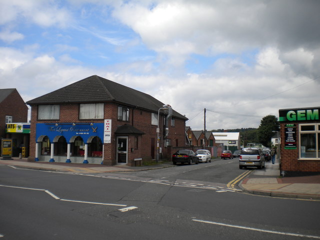
Image: © Richard Vince Taken: 7 Jul 2012
Although this road approximately faces Sandiacre, it ends abruptly long before it gets there. Derby Road, from whose junction Sandiacre Road is seen, is the actual road between the two towns.
Images are licensed for reuse under creativecommons.org/licenses/by-sa/2.0
Image Location
Latitude
52.926787
Longitude
-1.279992