Sandy Lane, Bramcote
Introduction
The photograph on this page of Sandy Lane, Bramcote by Richard Vince as part of the Geograph project.
The Geograph project started in 2005 with the aim of publishing, organising and preserving representative images for every square kilometre of Great Britain, Ireland and the Isle of Man.

There are currently over 7.5m images from over 14,400 individuals and you can help contribute to the project by visiting https://www.geograph.org.uk
Sandy Lane, Bramcote
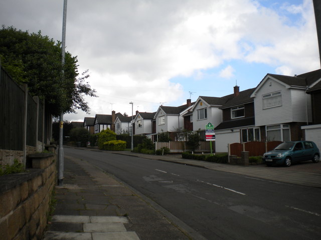
Image: © Richard Vince Taken: 7 Jul 2012
Seen from its junction with Derby Road. The white gabled parts of the houses in the foreground look almost superimposed on the rest of the architecture.
Images are licensed for reuse under creativecommons.org/licenses/by-sa/2.0
Image Location
Latitude
52.938093
Longitude
-1.233529