Fence, field & flood
Introduction
The photograph on this page of Fence, field & flood by Rob Farrow as part of the Geograph project.
The Geograph project started in 2005 with the aim of publishing, organising and preserving representative images for every square kilometre of Great Britain, Ireland and the Isle of Man.

There are currently over 7.5m images from over 14,400 individuals and you can help contribute to the project by visiting https://www.geograph.org.uk
Fence, field & flood
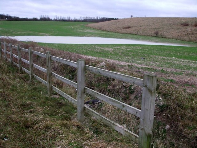
Image: © Rob Farrow Taken: 9 Jan 2007
Taken looking back towards Tring from the new road that leads through to the industrial units and new housing at Pitstone Green. The water is a temporary feature being flooding caused by much recent heavy rain.
Images are licensed for reuse under creativecommons.org/licenses/by-sa/2.0
Image Location
Latitude
51.823059
Longitude
-0.640433