Farmland around Gwysaney
Introduction
The photograph on this page of Farmland around Gwysaney by John S Turner as part of the Geograph project.
The Geograph project started in 2005 with the aim of publishing, organising and preserving representative images for every square kilometre of Great Britain, Ireland and the Isle of Man.

There are currently over 7.5m images from over 14,400 individuals and you can help contribute to the project by visiting https://www.geograph.org.uk
Farmland around Gwysaney
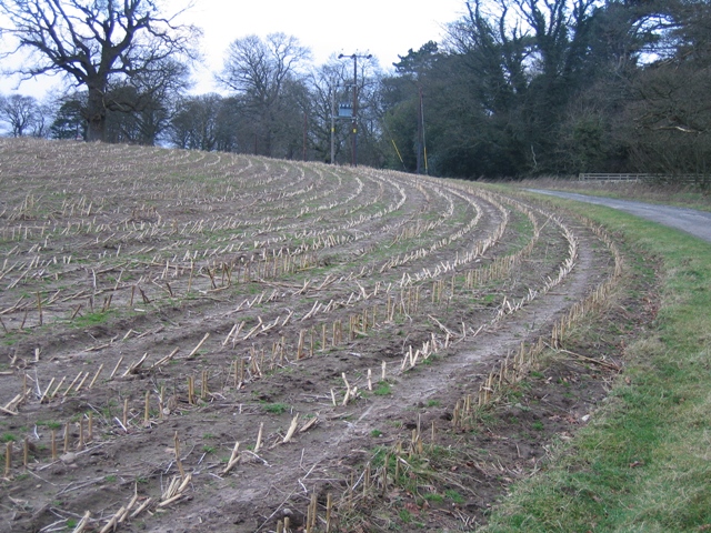
Image: © John S Turner Taken: 15 Jan 2007
The crop here has been harvested and the land is lying fallow at the moment. The lane is also a public footpath providing several options for walks in the area.
Images are licensed for reuse under creativecommons.org/licenses/by-sa/2.0
Image Location
Latitude
53.187976
Longitude
-3.15786