Fields near Lugbury Farm
Introduction
The photograph on this page of Fields near Lugbury Farm by Nigel Mykura as part of the Geograph project.
The Geograph project started in 2005 with the aim of publishing, organising and preserving representative images for every square kilometre of Great Britain, Ireland and the Isle of Man.

There are currently over 7.5m images from over 14,400 individuals and you can help contribute to the project by visiting https://www.geograph.org.uk
Fields near Lugbury Farm
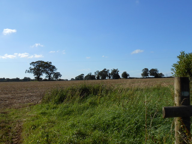
Image: © Nigel Mykura Taken: 20 Aug 2012
This large arable field had been harvested and was awaiting ploughing and reseeding with the new crop. It is right next to, and borders the Fosse Way just east of Nettleton. From this point a footpath runs west to the village.
Images are licensed for reuse under creativecommons.org/licenses/by-sa/2.0
Image Location


Leaflet Map data © OpenStreetMap
Latitude
51.500133
Longitude
-2.248747