Farmland near Shotatton
Introduction
The photograph on this page of Farmland near Shotatton by David Medcalf as part of the Geograph project.
The Geograph project started in 2005 with the aim of publishing, organising and preserving representative images for every square kilometre of Great Britain, Ireland and the Isle of Man.

There are currently over 7.5m images from over 14,400 individuals and you can help contribute to the project by visiting https://www.geograph.org.uk
Farmland near Shotatton
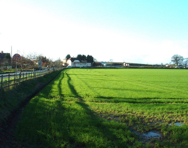
Image: © David Medcalf Taken: 10 Jan 2007
Shotatton is one of the 'eleven towns' referred to in the name of Ruyton XI Towns. The white building in the centre is shown as a public house on the map, but is now an Indian restaurant. It is situated on the A5 which crosses left to right [the lane in the photo is the B4397].
Images are licensed for reuse under creativecommons.org/licenses/by-sa/2.0
Image Location
Latitude
52.799133
Longitude
-2.949788