Lane to Ormside Hall and St James's Church
Introduction
The photograph on this page of Lane to Ormside Hall and St James's Church by Martin Dawes as part of the Geograph project.
The Geograph project started in 2005 with the aim of publishing, organising and preserving representative images for every square kilometre of Great Britain, Ireland and the Isle of Man.

There are currently over 7.5m images from over 14,400 individuals and you can help contribute to the project by visiting https://www.geograph.org.uk
Lane to Ormside Hall and St James's Church
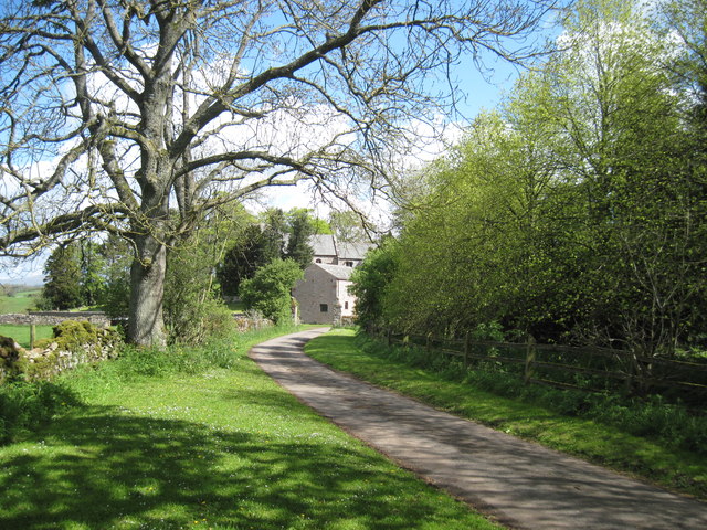
Image: © Martin Dawes Taken: 16 May 2012
The church can be seen over the cottage, it dates from at least the 11th century
Images are licensed for reuse under creativecommons.org/licenses/by-sa/2.0
Image Location
Latitude
54.552307
Longitude
-2.463476