SW corner of Weston-super-Mare Cricket Club's ground
Introduction
The photograph on this page of SW corner of Weston-super-Mare Cricket Club's ground by Jaggery as part of the Geograph project.
The Geograph project started in 2005 with the aim of publishing, organising and preserving representative images for every square kilometre of Great Britain, Ireland and the Isle of Man.

There are currently over 7.5m images from over 14,400 individuals and you can help contribute to the project by visiting https://www.geograph.org.uk
SW corner of Weston-super-Mare Cricket Club's ground
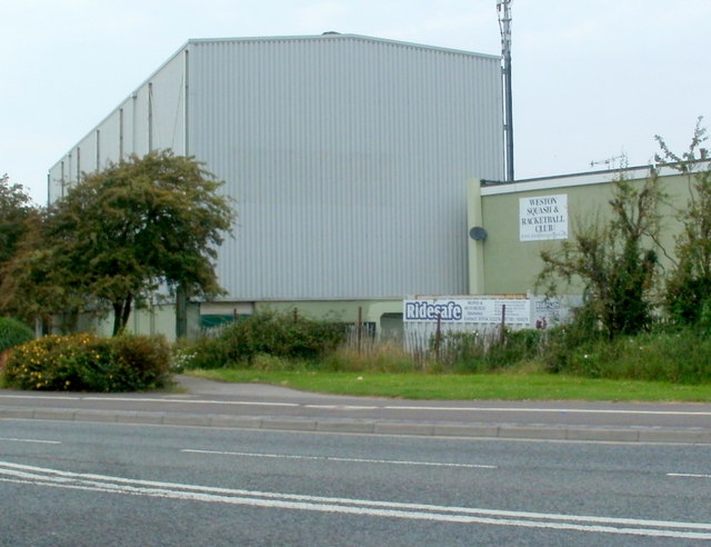
Image: © Jaggery Taken: 27 Jul 2011
Viewed across Bridgwater Road. The grey structure on the left is the behind the pavilion. On the right, signs show WESTON SQUASH AND RACKETBALL CLUB and Ridesafe moped and motorcycle training.
Images are licensed for reuse under creativecommons.org/licenses/by-sa/2.0
Image Location
Latitude
51.328108
Longitude
-2.974621