Uphill Castle cricket ground and pavilion
Introduction
The photograph on this page of Uphill Castle cricket ground and pavilion by Jaggery as part of the Geograph project.
The Geograph project started in 2005 with the aim of publishing, organising and preserving representative images for every square kilometre of Great Britain, Ireland and the Isle of Man.

There are currently over 7.5m images from over 14,400 individuals and you can help contribute to the project by visiting https://www.geograph.org.uk
Uphill Castle cricket ground and pavilion
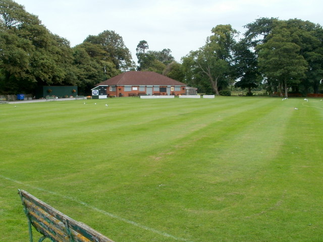
Image: © Jaggery Taken: 27 Jul 2011
Viewed from the Bridgwater Road entrance. http://www.geograph.org.uk/photo/3131985
Images are licensed for reuse under creativecommons.org/licenses/by-sa/2.0
Image Location


Leaflet Map data © OpenStreetMap
Latitude
51.326946
Longitude
-2.973735