The former Ysgol Dyffryn Conwy
Introduction
The photograph on this page of The former Ysgol Dyffryn Conwy by Richard Hoare as part of the Geograph project.
The Geograph project started in 2005 with the aim of publishing, organising and preserving representative images for every square kilometre of Great Britain, Ireland and the Isle of Man.

There are currently over 7.5m images from over 14,400 individuals and you can help contribute to the project by visiting https://www.geograph.org.uk
The former Ysgol Dyffryn Conwy
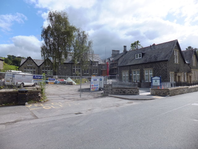
Image: © Richard Hoare Taken: 14 Sep 2012
Now being converted. Located near to both the Canolfan Crwst Health and Social Care Centre and the Hafan Gwydir Extra Care Scheme, where a community café is open to the public every day. This is a Grade II listed building, granted 1993 by Cadw. Source ID 3592
Images are licensed for reuse under creativecommons.org/licenses/by-sa/2.0
Image Location


Leaflet Map data © OpenStreetMap
Latitude
53.138787
Longitude
-3.796686