Mathern and District Club Village Hall
Introduction
The photograph on this page of Mathern and District Club Village Hall by Jaggery as part of the Geograph project.
The Geograph project started in 2005 with the aim of publishing, organising and preserving representative images for every square kilometre of Great Britain, Ireland and the Isle of Man.

There are currently over 7.5m images from over 14,400 individuals and you can help contribute to the project by visiting https://www.geograph.org.uk
Mathern and District Club Village Hall
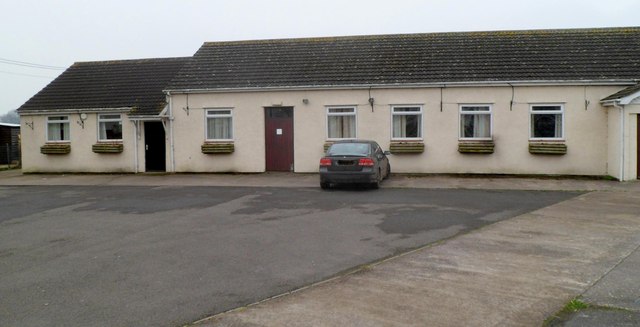
Image: © Jaggery Taken: 29 Jan 2012
Set back 50 metres from the main road through the village, with parking space for 30 cars. A name plate on the wall shows that the hall opened in 1968.
Images are licensed for reuse under creativecommons.org/licenses/by-sa/2.0
Image Location
Latitude
51.620432
Longitude
-2.696602