The Incline
Introduction
The photograph on this page of The Incline by gj as part of the Geograph project.
The Geograph project started in 2005 with the aim of publishing, organising and preserving representative images for every square kilometre of Great Britain, Ireland and the Isle of Man.

There are currently over 7.5m images from over 14,400 individuals and you can help contribute to the project by visiting https://www.geograph.org.uk
The Incline
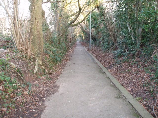
Image: © gj Taken: 26 Jan 2006
This footpath known locally as "The Incline" follows the path of the tramway for several miles from the site of the old Henllys Colliery to the Monmouthshire and Brecon at Two Locks
Images are licensed for reuse under creativecommons.org/licenses/by-sa/2.0
Image Location
Latitude
51.640945
Longitude
-3.056317