The Twitchell, Hawtonville
Introduction
The photograph on this page of The Twitchell, Hawtonville by Alan Murray-Rust as part of the Geograph project.
The Geograph project started in 2005 with the aim of publishing, organising and preserving representative images for every square kilometre of Great Britain, Ireland and the Isle of Man.

There are currently over 7.5m images from over 14,400 individuals and you can help contribute to the project by visiting https://www.geograph.org.uk
The Twitchell, Hawtonville
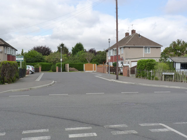
Image: © Alan Murray-Rust Taken: 4 Sep 2012
Cul-de-sac off Elizabeth Road. Rather wider than your average twitchell which is normally a narrow alley or footpath.
Images are licensed for reuse under creativecommons.org/licenses/by-sa/2.0
Image Location
Latitude
53.061393
Longitude
-0.822177