Gill House, Grange Road
Introduction
The photograph on this page of Gill House, Grange Road by Alan Murray-Rust as part of the Geograph project.
The Geograph project started in 2005 with the aim of publishing, organising and preserving representative images for every square kilometre of Great Britain, Ireland and the Isle of Man.

There are currently over 7.5m images from over 14,400 individuals and you can help contribute to the project by visiting https://www.geograph.org.uk
Gill House, Grange Road
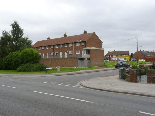
Image: © Alan Murray-Rust Taken: 4 Sep 2012
One of a pair of maisonette blocks at the south-eastern corner of Hawtonville.
Images are licensed for reuse under creativecommons.org/licenses/by-sa/2.0
Image Location
Latitude
53.057729
Longitude
-0.806312