The B.1057 looking towards Great Dunmow
Introduction
The photograph on this page of The B.1057 looking towards Great Dunmow by Robert Edwards as part of the Geograph project.
The Geograph project started in 2005 with the aim of publishing, organising and preserving representative images for every square kilometre of Great Britain, Ireland and the Isle of Man.

There are currently over 7.5m images from over 14,400 individuals and you can help contribute to the project by visiting https://www.geograph.org.uk
The B.1057 looking towards Great Dunmow
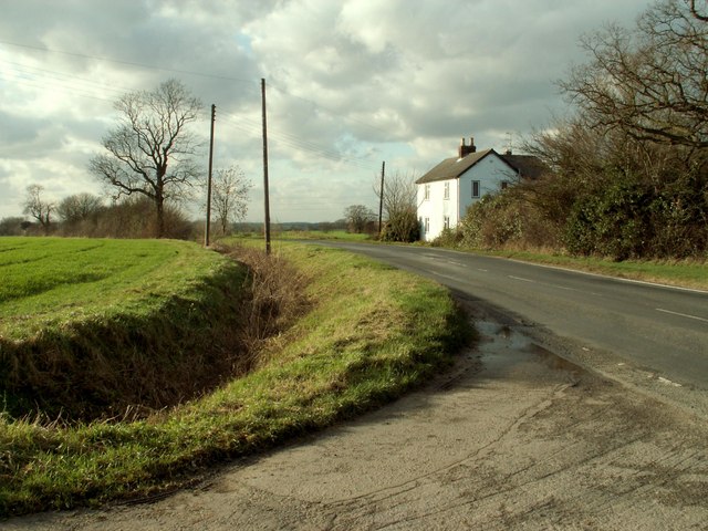
Image: © Robert Edwards Taken: 15 Jan 2007
The house is known as Spike House and this view is from the entrance to Dunmow Farm.
Images are licensed for reuse under creativecommons.org/licenses/by-sa/2.0
Image Location
Latitude
51.893389
Longitude
0.38659