Croham Hurst Golf Course
Introduction
The photograph on this page of Croham Hurst Golf Course by Marathon as part of the Geograph project.
The Geograph project started in 2005 with the aim of publishing, organising and preserving representative images for every square kilometre of Great Britain, Ireland and the Isle of Man.

There are currently over 7.5m images from over 14,400 individuals and you can help contribute to the project by visiting https://www.geograph.org.uk
Croham Hurst Golf Course
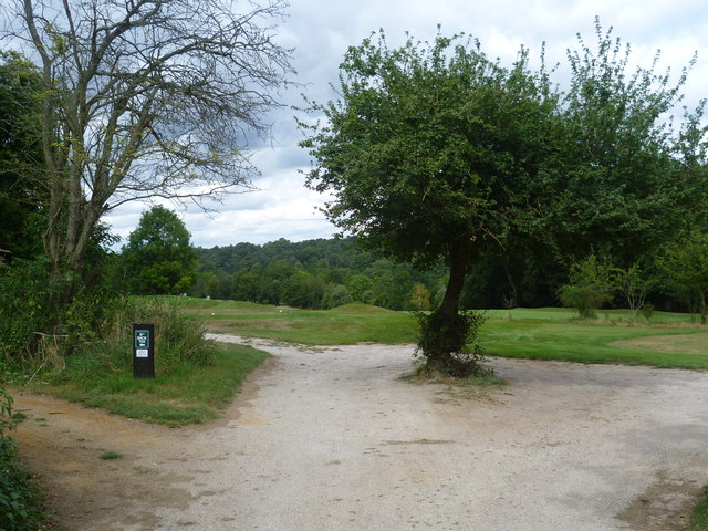
Image: © Marathon Taken: 12 Sep 2012
The Whitgift Foundation sold Croham Hurst to Croydon Corporation in 1901. The north-western part is wooded while the eastern and southern parts are taken up by Croham Hurst Golf Course. Here the eastern and southern parts of the golf course are linked through a strip of woodland. One of the main tracks within the woodland which follows its northern edge passes through this strip.
Images are licensed for reuse under creativecommons.org/licenses/by-sa/2.0
Image Location
Latitude
51.349963
Longitude
-0.073891