Ruined sandstone structure near Lee Brockhurst
Introduction
The photograph on this page of Ruined sandstone structure near Lee Brockhurst by Lorna Lyons as part of the Geograph project.
The Geograph project started in 2005 with the aim of publishing, organising and preserving representative images for every square kilometre of Great Britain, Ireland and the Isle of Man.

There are currently over 7.5m images from over 14,400 individuals and you can help contribute to the project by visiting https://www.geograph.org.uk
Ruined sandstone structure near Lee Brockhurst
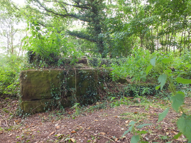
Image: © Lorna Lyons Taken: 10 Sep 2012
Ruined sandstone structure, possibly an animal pen, on wooded hill near Lee Brockhurst.
Images are licensed for reuse under creativecommons.org/licenses/by-sa/2.0
Image Location
Latitude
52.839436
Longitude
-2.668746