Path from Quayside carpark to Banff Harbour
Introduction
The photograph on this page of Path from Quayside carpark to Banff Harbour by Stanley Howe as part of the Geograph project.
The Geograph project started in 2005 with the aim of publishing, organising and preserving representative images for every square kilometre of Great Britain, Ireland and the Isle of Man.

There are currently over 7.5m images from over 14,400 individuals and you can help contribute to the project by visiting https://www.geograph.org.uk
Path from Quayside carpark to Banff Harbour
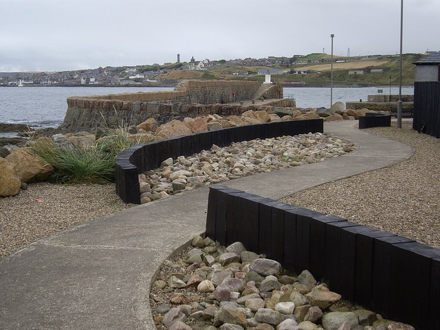
Image: © Stanley Howe Taken: 10 Sep 2012
Macduff can be seen in the background,on the other side of the Deveron estuary (Banff Bay).
Images are licensed for reuse under creativecommons.org/licenses/by-sa/2.0
Image Location
Latitude
57.67091
Longitude
-2.523188