Path down to the shore from A98 near Banff
Introduction
The photograph on this page of Path down to the shore from A98 near Banff by Stanley Howe as part of the Geograph project.
The Geograph project started in 2005 with the aim of publishing, organising and preserving representative images for every square kilometre of Great Britain, Ireland and the Isle of Man.

There are currently over 7.5m images from over 14,400 individuals and you can help contribute to the project by visiting https://www.geograph.org.uk
Path down to the shore from A98 near Banff
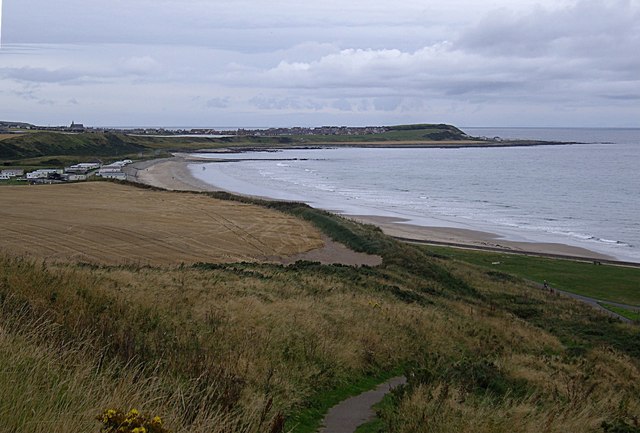
Image: © Stanley Howe Taken: 10 Sep 2012
With distant views across Boyndie Bay to Whitehills (church on left horizon), and The Knock stretching out to sea on the right.
Images are licensed for reuse under creativecommons.org/licenses/by-sa/2.0
Image Location
Latitude
57.668134
Longitude
-2.542425