Road to Jingle Street and Wonastow leaves Dingestow
Introduction
The photograph on this page of Road to Jingle Street and Wonastow leaves Dingestow by Jaggery as part of the Geograph project.
The Geograph project started in 2005 with the aim of publishing, organising and preserving representative images for every square kilometre of Great Britain, Ireland and the Isle of Man.

There are currently over 7.5m images from over 14,400 individuals and you can help contribute to the project by visiting https://www.geograph.org.uk
Road to Jingle Street and Wonastow leaves Dingestow
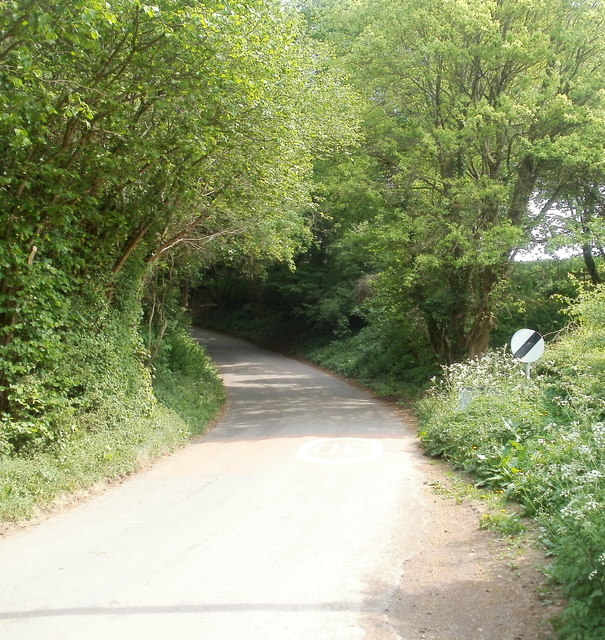
Image: © Jaggery Taken: 1 May 2011
A few metres east of the River Trothy bridge, http://www.geograph.org.uk/photo/3126632 the 30mph speed limit in the village increases to the National Speed Limit. Partially hidden by vegetation, the grey back of the Dingestow boundary sign http://www.geograph.org.uk/photo/5596159 is to the left of the speed limit sign.
Images are licensed for reuse under creativecommons.org/licenses/by-sa/2.0
Image Location
Latitude
51.788827
Longitude
-2.784154