St Mary Magdalene Gardens
Introduction
The photograph on this page of St Mary Magdalene Gardens by Stephen McKay as part of the Geograph project.
The Geograph project started in 2005 with the aim of publishing, organising and preserving representative images for every square kilometre of Great Britain, Ireland and the Isle of Man.

There are currently over 7.5m images from over 14,400 individuals and you can help contribute to the project by visiting https://www.geograph.org.uk
St Mary Magdalene Gardens
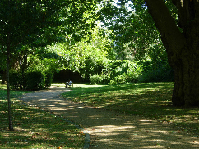
Image: © Stephen McKay Taken: 7 Sep 2012
When a chapel of ease was established here on Holloway Road in 1814 a burial ground was established around it. it was used as such until 1856 after which the grounds were reordered and re-opened to the public in the 1890s. It is now a pleasant shady refuge on a warm day in the city.
Images are licensed for reuse under creativecommons.org/licenses/by-sa/2.0
Image Location
Latitude
51.547561
Longitude
-0.108826