Maize near Hilderstone
Introduction
The photograph on this page of Maize near Hilderstone by Derek Harper as part of the Geograph project.
The Geograph project started in 2005 with the aim of publishing, organising and preserving representative images for every square kilometre of Great Britain, Ireland and the Isle of Man.

There are currently over 7.5m images from over 14,400 individuals and you can help contribute to the project by visiting https://www.geograph.org.uk
Maize near Hilderstone
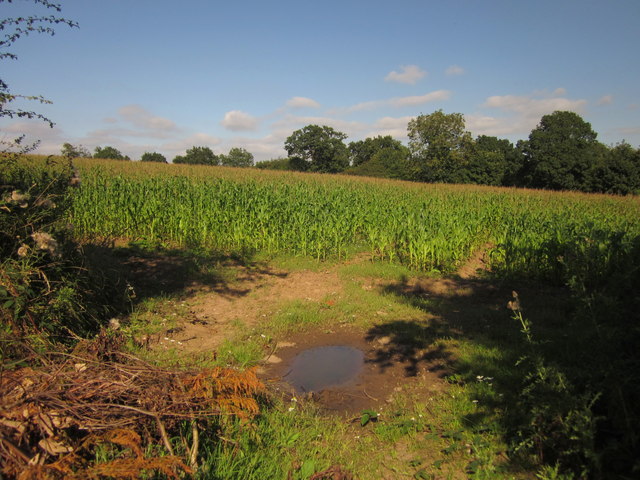
Image: © Derek Harper Taken: 7 Sep 2012
From the bend in the lane shown in Image The trees mark the line of the B5066.
Images are licensed for reuse under creativecommons.org/licenses/by-sa/2.0
Image Location
Latitude
52.913476
Longitude
-2.082045