Bishopbridge: the start of the River Ancholme
Introduction
The photograph on this page of Bishopbridge: the start of the River Ancholme by Chris as part of the Geograph project.
The Geograph project started in 2005 with the aim of publishing, organising and preserving representative images for every square kilometre of Great Britain, Ireland and the Isle of Man.

There are currently over 7.5m images from over 14,400 individuals and you can help contribute to the project by visiting https://www.geograph.org.uk
Bishopbridge: the start of the River Ancholme
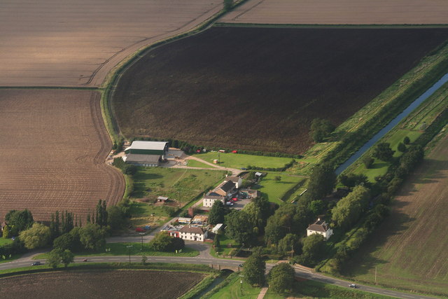
Image: © Chris Taken: 2 Sep 2012
Riverhead. To the north is the canalised New River Ancholme. South of the bridge is the old river, first named on the map 3.5 miles to the south near Toft Newton Reservoir.
Images are licensed for reuse under creativecommons.org/licenses/by-sa/2.0
Image Location
Latitude
53.406283
Longitude
-0.449531