Inverkeithing
Introduction
The photograph on this page of Inverkeithing by Paul McIlroy as part of the Geograph project.
The Geograph project started in 2005 with the aim of publishing, organising and preserving representative images for every square kilometre of Great Britain, Ireland and the Isle of Man.

There are currently over 7.5m images from over 14,400 individuals and you can help contribute to the project by visiting https://www.geograph.org.uk
Inverkeithing
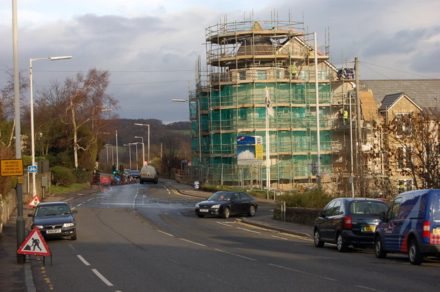
Image: © Paul McIlroy Taken: 15 Jan 2007
New residential property under construction at the corner of Boreland Road and Church Street, where The Station Garage used to stand.
Images are licensed for reuse under creativecommons.org/licenses/by-sa/2.0
Image Location


Leaflet Map data © OpenStreetMap
Latitude
56.032861
Longitude
-3.397726