Riggins
Introduction
The photograph on this page of Riggins by Anne Burgess as part of the Geograph project.
The Geograph project started in 2005 with the aim of publishing, organising and preserving representative images for every square kilometre of Great Britain, Ireland and the Isle of Man.

There are currently over 7.5m images from over 14,400 individuals and you can help contribute to the project by visiting https://www.geograph.org.uk
Riggins
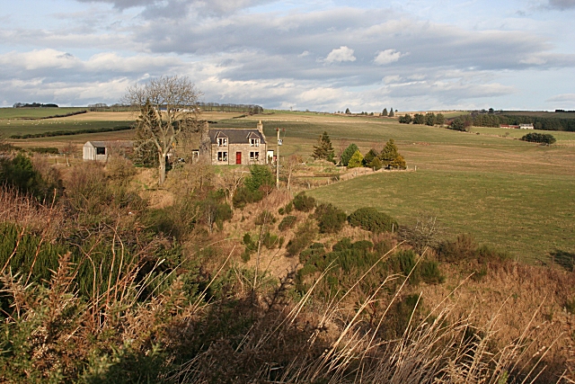
Image: © Anne Burgess Taken: 15 Jan 2007
Riggins stands above the gully carved by an unnamed tributary of the Kinminitie Burn which falls into the River Isla at Keith. For a winter view see Image
Images are licensed for reuse under creativecommons.org/licenses/by-sa/2.0
Image Location
Latitude
57.562382
Longitude
-2.967741