View From Chawley Lane
Introduction
The photograph on this page of View From Chawley Lane by Des Blenkinsopp as part of the Geograph project.
The Geograph project started in 2005 with the aim of publishing, organising and preserving representative images for every square kilometre of Great Britain, Ireland and the Isle of Man.

There are currently over 7.5m images from over 14,400 individuals and you can help contribute to the project by visiting https://www.geograph.org.uk
View From Chawley Lane
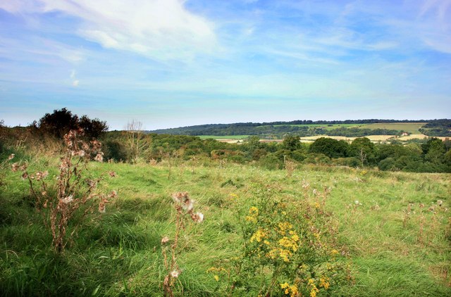
Image: © Des Blenkinsopp Taken: 6 Sep 2012
Chawley Lane starts off as a suburban street, has a few hundred metres as a country lane and then hits the A420 dual carriageway. Nice views in between the roads and houses.
Images are licensed for reuse under creativecommons.org/licenses/by-sa/2.0
Image Location
Latitude
51.739678
Longitude
-1.321745