2012 : South from the road east of Grittleton
Introduction
The photograph on this page of 2012 : South from the road east of Grittleton by Maurice Pullin as part of the Geograph project.
The Geograph project started in 2005 with the aim of publishing, organising and preserving representative images for every square kilometre of Great Britain, Ireland and the Isle of Man.

There are currently over 7.5m images from over 14,400 individuals and you can help contribute to the project by visiting https://www.geograph.org.uk
2012 : South from the road east of Grittleton
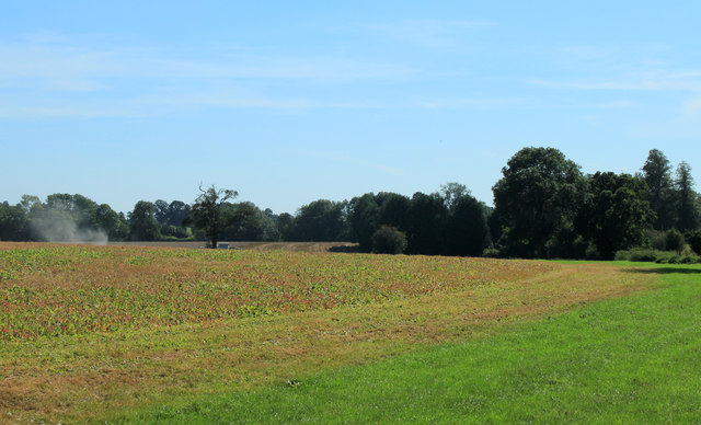
Image: © Maurice Pullin Taken: 7 Sep 2012
The field seems to have been subject to some sort of treatment, weedkiller perhaps. The town sewage works is in the trees to the right.
Images are licensed for reuse under creativecommons.org/licenses/by-sa/2.0
Image Location


Leaflet Map data © OpenStreetMap
Latitude
51.519386
Longitude
-2.195526