New housing for old in Benchill
Introduction
The photograph on this page of New housing for old in Benchill by John Rostron as part of the Geograph project.
The Geograph project started in 2005 with the aim of publishing, organising and preserving representative images for every square kilometre of Great Britain, Ireland and the Isle of Man.

There are currently over 7.5m images from over 14,400 individuals and you can help contribute to the project by visiting https://www.geograph.org.uk
New housing for old in Benchill
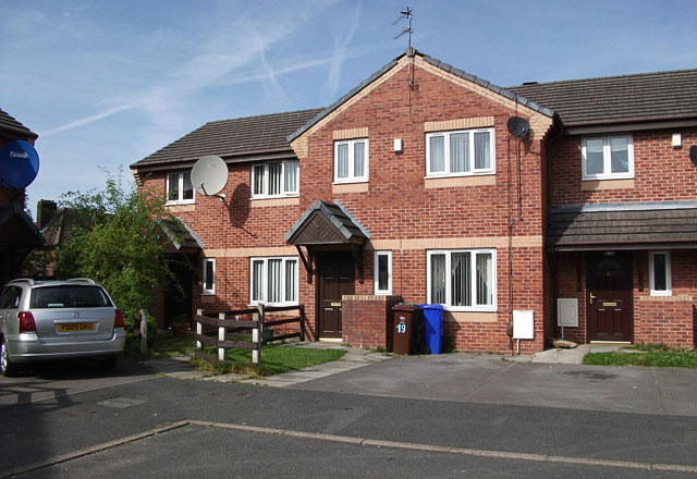
Image: © John Rostron Taken: 6 Sep 2012
From around 1946 to 1956 I lived in a house at this spot. On visiting it recently, I was told that the current houses had been built about sixteen years ago. Ours was the left-hand end of terrace, and the current one is still number 17. These new ones undoubtedly have all mod cons, but I doubt that they are any bigger than the one I lived in.
Images are licensed for reuse under creativecommons.org/licenses/by-sa/2.0
Image Location
Latitude
53.388461
Longitude
-2.262334