Moorgreen reservoir outflow
Introduction
The photograph on this page of Moorgreen reservoir outflow by Lynne Kirton as part of the Geograph project.
The Geograph project started in 2005 with the aim of publishing, organising and preserving representative images for every square kilometre of Great Britain, Ireland and the Isle of Man.

There are currently over 7.5m images from over 14,400 individuals and you can help contribute to the project by visiting https://www.geograph.org.uk
Moorgreen reservoir outflow
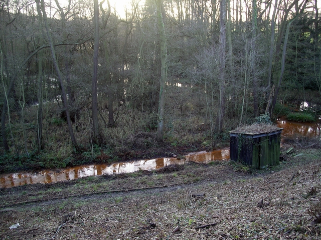
Image: © Lynne Kirton Taken: 14 Jan 2007
Just beyond where the water first leaves the reservoir it becomes a mass of rusty looking channels and ponds, almost like some inhospitable primeval landscape. I have no idea what the function of the building might be, though I wonder whether the state of the land might have had something to do with the mining which used to take place in the area.
Images are licensed for reuse under creativecommons.org/licenses/by-sa/2.0
Image Location
Latitude
53.032536
Longitude
-1.285688