The Griffin Inn from the hillside below Gelli'r-haidd-uchaf
Introduction
The photograph on this page of The Griffin Inn from the hillside below Gelli'r-haidd-uchaf by Simon Mortimer as part of the Geograph project.
The Geograph project started in 2005 with the aim of publishing, organising and preserving representative images for every square kilometre of Great Britain, Ireland and the Isle of Man.

There are currently over 7.5m images from over 14,400 individuals and you can help contribute to the project by visiting https://www.geograph.org.uk
The Griffin Inn from the hillside below Gelli'r-haidd-uchaf
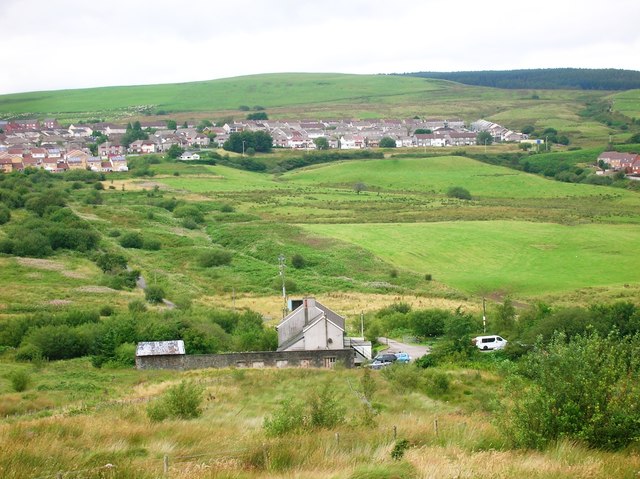
Image: © Simon Mortimer Taken: 8 Aug 2012
Looking north across the valley, with the houses of Hendre-Forgan visible in the distance. The pub is known by locals as 'The Bog'.
Images are licensed for reuse under creativecommons.org/licenses/by-sa/2.0
Image Location
Latitude
51.577252
Longitude
-3.461515