Rochdale: Drake Street
Introduction
The photograph on this page of Rochdale: Drake Street by Dr Neil Clifton as part of the Geograph project.
The Geograph project started in 2005 with the aim of publishing, organising and preserving representative images for every square kilometre of Great Britain, Ireland and the Isle of Man.

There are currently over 7.5m images from over 14,400 individuals and you can help contribute to the project by visiting https://www.geograph.org.uk
Rochdale: Drake Street
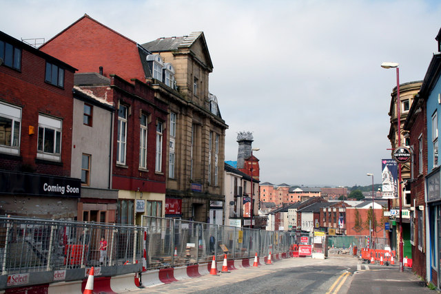
Image: © Dr Neil Clifton Taken: 8 Sep 2012
Looking north, from just beyond the Water Street junction. Southbound buses use Water Street and regain their normal route here, but the northbound equivalents must use Wood Street and whole length of Molesworth Street to reach the bus station. On the left here is seen the once-prestigious Champness Hall, looking rather sorry for itself in the middle of all this mess.
Images are licensed for reuse under creativecommons.org/licenses/by-sa/2.0
Image Location
Latitude
53.616414
Longitude
-2.156267