Looking down Chapel Hill
Introduction
The photograph on this page of Looking down Chapel Hill by Marathon as part of the Geograph project.
The Geograph project started in 2005 with the aim of publishing, organising and preserving representative images for every square kilometre of Great Britain, Ireland and the Isle of Man.

There are currently over 7.5m images from over 14,400 individuals and you can help contribute to the project by visiting https://www.geograph.org.uk
Looking down Chapel Hill
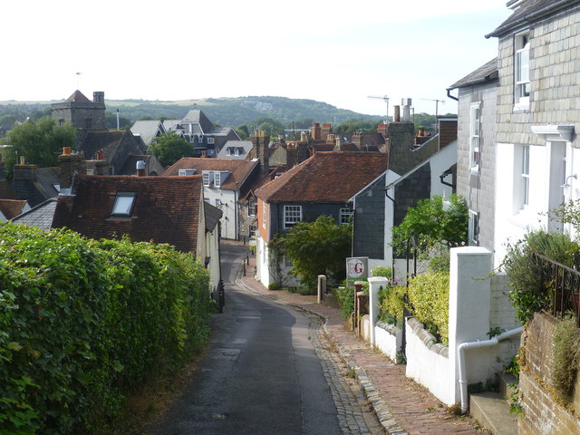
Image: © Marathon Taken: 6 Sep 2012
Where the main west-east shopping street in Lewes ends beyond Cliffe High Street, crossing over Malling Street/South Street leads to Chapel Hill. It is quite a steep climb with no parked cars. This is looking down the hill from near the bottom. The tower belongs to St Thomas a Becket Church in Cliffe High Street and the hill in the distance is Landport Bottom
Images are licensed for reuse under creativecommons.org/licenses/by-sa/2.0
Image Location
Latitude
50.874168
Longitude
0.019997