Cliff top path, Seahouses
Introduction
The photograph on this page of Cliff top path, Seahouses by Graham Robson as part of the Geograph project.
The Geograph project started in 2005 with the aim of publishing, organising and preserving representative images for every square kilometre of Great Britain, Ireland and the Isle of Man.

There are currently over 7.5m images from over 14,400 individuals and you can help contribute to the project by visiting https://www.geograph.org.uk
Cliff top path, Seahouses
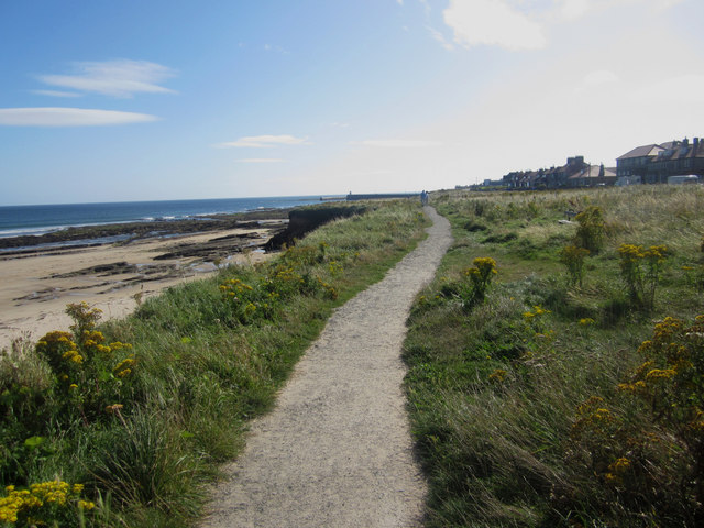
Image: © Graham Robson Taken: 5 Sep 2012
The footpath runs along the top of the short cliffs south of Seahouses, above The Tumblers rock formations.
Images are licensed for reuse under creativecommons.org/licenses/by-sa/2.0
Image Location
Latitude
55.585323
Longitude
-1.663814