Road in Nant Alyn
Introduction
The photograph on this page of Road in Nant Alyn by Peter Craine as part of the Geograph project.
The Geograph project started in 2005 with the aim of publishing, organising and preserving representative images for every square kilometre of Great Britain, Ireland and the Isle of Man.

There are currently over 7.5m images from over 14,400 individuals and you can help contribute to the project by visiting https://www.geograph.org.uk
Road in Nant Alyn
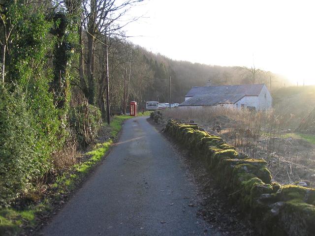
Image: © Peter Craine Taken: 14 Jan 2007
In the distance, there is a caravan park following the river Alun/ Afon Alyn. The word 'Nant' means 'stream'.
Images are licensed for reuse under creativecommons.org/licenses/by-sa/2.0
Image Location
Latitude
53.186183
Longitude
-3.202709