Path by Moorgreen reservoir
Introduction
The photograph on this page of Path by Moorgreen reservoir by Lynne Kirton as part of the Geograph project.
The Geograph project started in 2005 with the aim of publishing, organising and preserving representative images for every square kilometre of Great Britain, Ireland and the Isle of Man.

There are currently over 7.5m images from over 14,400 individuals and you can help contribute to the project by visiting https://www.geograph.org.uk
Path by Moorgreen reservoir
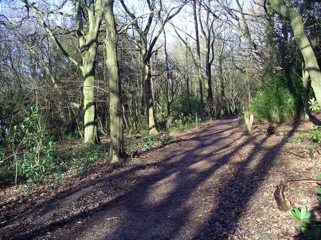
Image: © Lynne Kirton Taken: 14 Jan 2007
This public footpath runs through High Park Wood, mixed deciduous and coniferous woodland. The reservoir is to the left of the picture. The land to the right is private.
Images are licensed for reuse under creativecommons.org/licenses/by-sa/2.0
Image Location
Latitude
53.035206
Longitude
-1.28117