Marina Way, Clarence Road Junction
Introduction
The photograph on this page of Marina Way, Clarence Road Junction by Mick Garratt as part of the Geograph project.
The Geograph project started in 2005 with the aim of publishing, organising and preserving representative images for every square kilometre of Great Britain, Ireland and the Isle of Man.

There are currently over 7.5m images from over 14,400 individuals and you can help contribute to the project by visiting https://www.geograph.org.uk
Marina Way, Clarence Road Junction
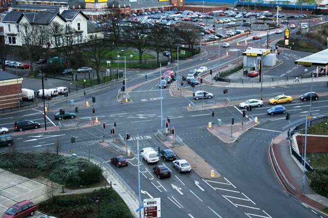
Image: © Mick Garratt Taken: 12 Jan 2007
A busy junction. Marina Way is off to the right; Clarence Road top right, Church Street bottom and Stranton left. Taken from the top of Christ Church.
Images are licensed for reuse under creativecommons.org/licenses/by-sa/2.0
Image Location
Latitude
54.685886
Longitude
-1.211987