A Clan Donald Lands Trust Path
Introduction
The photograph on this page of A Clan Donald Lands Trust Path by Mary and Angus Hogg as part of the Geograph project.
The Geograph project started in 2005 with the aim of publishing, organising and preserving representative images for every square kilometre of Great Britain, Ireland and the Isle of Man.

There are currently over 7.5m images from over 14,400 individuals and you can help contribute to the project by visiting https://www.geograph.org.uk
A Clan Donald Lands Trust Path
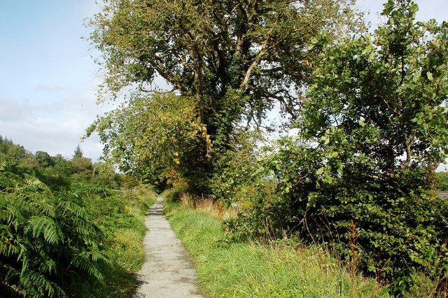
Image: © Mary and Angus Hogg Taken: 5 Sep 2012
This footpath is part of the Clan Donald Lands Trust Path Network, providing a choice of nature trails to follow.
Images are licensed for reuse under creativecommons.org/licenses/by-sa/2.0
Image Location
Latitude
57.067593
Longitude
-5.899003