Quainton Street, Neasden
Introduction
The photograph on this page of Quainton Street, Neasden by David Howard as part of the Geograph project.
The Geograph project started in 2005 with the aim of publishing, organising and preserving representative images for every square kilometre of Great Britain, Ireland and the Isle of Man.

There are currently over 7.5m images from over 14,400 individuals and you can help contribute to the project by visiting https://www.geograph.org.uk
Quainton Street, Neasden
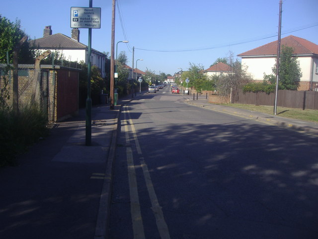
Image: © David Howard Taken: 7 Sep 2012
These roads are all named after the old line from Quainton Road which continued as a goods line for some time, and has a short part open as a steam railway. It leads to the underground railway depot to the rear of the view so built specifically as railway terraces, most of which have now been replaced by these council houses.
Images are licensed for reuse under creativecommons.org/licenses/by-sa/2.0
Image Location
Latitude
51.560454
Longitude
-0.262226