Northgate Ward Community Centre, Canterbury
Introduction
The photograph on this page of Northgate Ward Community Centre, Canterbury by David Kemp as part of the Geograph project.
The Geograph project started in 2005 with the aim of publishing, organising and preserving representative images for every square kilometre of Great Britain, Ireland and the Isle of Man.

There are currently over 7.5m images from over 14,400 individuals and you can help contribute to the project by visiting https://www.geograph.org.uk
Northgate Ward Community Centre, Canterbury
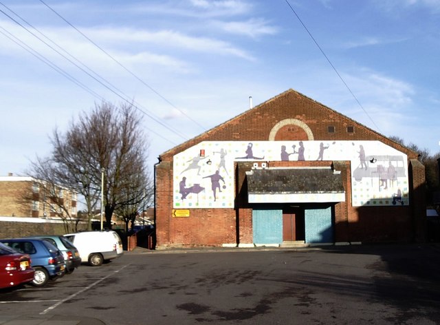
Image: © David Kemp Taken: 14 Jan 2007
Situated at the far end of Military Road, the community centre was established in 1997. Although the building that houses it is much older, I am not aware of its original use.
Images are licensed for reuse under creativecommons.org/licenses/by-sa/2.0
Image Location
Latitude
51.284873
Longitude
1.094965