Barley Close, Martin Mill
Introduction
The photograph on this page of Barley Close, Martin Mill by John Baker as part of the Geograph project.
The Geograph project started in 2005 with the aim of publishing, organising and preserving representative images for every square kilometre of Great Britain, Ireland and the Isle of Man.

There are currently over 7.5m images from over 14,400 individuals and you can help contribute to the project by visiting https://www.geograph.org.uk
Barley Close, Martin Mill
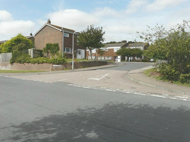
Image: © John Baker Taken: 5 Sep 2012
The station was built on a field called Barley Close and this name was given to this small estate built on the former sidings
Images are licensed for reuse under creativecommons.org/licenses/by-sa/2.0
Image Location
Latitude
51.170127
Longitude
1.348535