Road to Bala
Introduction
The photograph on this page of Road to Bala by Philip Halling as part of the Geograph project.
The Geograph project started in 2005 with the aim of publishing, organising and preserving representative images for every square kilometre of Great Britain, Ireland and the Isle of Man.

There are currently over 7.5m images from over 14,400 individuals and you can help contribute to the project by visiting https://www.geograph.org.uk
Road to Bala
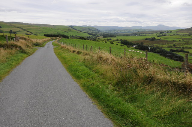
Image: © Philip Halling Taken: 31 Aug 2012
View down a country road as it passes upland near Cae'r-gerreg, Bala is in the valley in the middle distance and Aran Fawddwy can be seen to the right in the distance.
Images are licensed for reuse under creativecommons.org/licenses/by-sa/2.0
Image Location


Leaflet Map data © OpenStreetMap
Latitude
52.978588
Longitude
-3.627677