Footpath to the Weaver
Introduction
The photograph on this page of Footpath to the Weaver by Jonathan Billinger as part of the Geograph project.
The Geograph project started in 2005 with the aim of publishing, organising and preserving representative images for every square kilometre of Great Britain, Ireland and the Isle of Man.

There are currently over 7.5m images from over 14,400 individuals and you can help contribute to the project by visiting https://www.geograph.org.uk
Footpath to the Weaver
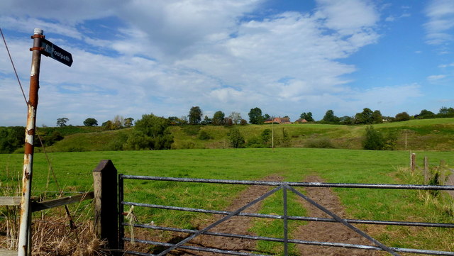
Image: © Jonathan Billinger Taken: 4 Sep 2012
Leading north-east from Newtown Lane. The river cuts a relatively (for Cheshire) steep-sided valley in the plateau of surrounding pastoral farmland.
Images are licensed for reuse under creativecommons.org/licenses/by-sa/2.0
Image Location


Leaflet Map data © OpenStreetMap
Latitude
52.981529
Longitude
-2.532422