Site of Curthwaite station, 1986
Introduction
The photograph on this page of Site of Curthwaite station, 1986 by Ben Brooksbank as part of the Geograph project.
The Geograph project started in 2005 with the aim of publishing, organising and preserving representative images for every square kilometre of Great Britain, Ireland and the Isle of Man.

There are currently over 7.5m images from over 14,400 individuals and you can help contribute to the project by visiting https://www.geograph.org.uk
Site of Curthwaite station, 1986
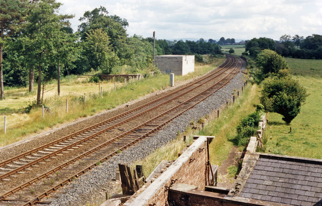
Image: © Ben Brooksbank Taken: 8 Jul 1986
View eastward, towards Carlisle: ex-Maryport & Carlisle Workington - Maryport - Carlisle secondary main line. The station had been closed from 12/6/50 (goods, 6/1/58), but the line remains active.
Images are licensed for reuse under creativecommons.org/licenses/by-sa/2.0
Image Location
Latitude
54.833594
Longitude
-3.052843