Lane by the Perimeter of Swinton Park
Introduction
The photograph on this page of Lane by the Perimeter of Swinton Park by Chris Heaton as part of the Geograph project.
The Geograph project started in 2005 with the aim of publishing, organising and preserving representative images for every square kilometre of Great Britain, Ireland and the Isle of Man.

There are currently over 7.5m images from over 14,400 individuals and you can help contribute to the project by visiting https://www.geograph.org.uk
Lane by the Perimeter of Swinton Park
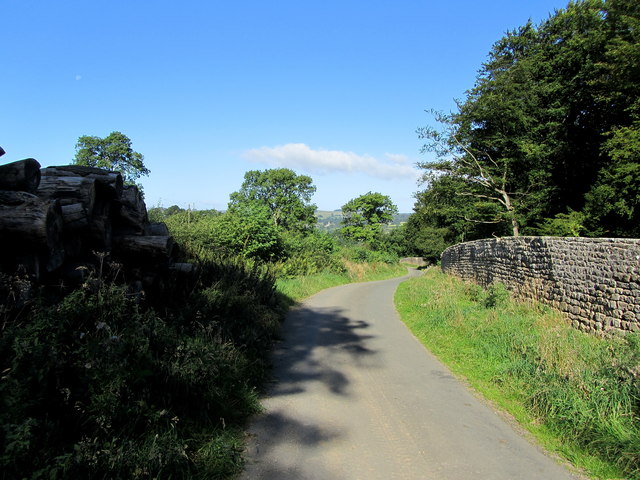
Image: © Chris Heaton Taken: 5 Sep 2012
The park is surrounded by a very long perimeter wall, part of which is followed by this lane
Images are licensed for reuse under creativecommons.org/licenses/by-sa/2.0
Image Location
Latitude
54.210487
Longitude
-1.692699