Hagden Lane at the junction of Tolpits Lane
Introduction
The photograph on this page of Hagden Lane at the junction of Tolpits Lane by David Howard as part of the Geograph project.
The Geograph project started in 2005 with the aim of publishing, organising and preserving representative images for every square kilometre of Great Britain, Ireland and the Isle of Man.

There are currently over 7.5m images from over 14,400 individuals and you can help contribute to the project by visiting https://www.geograph.org.uk
Hagden Lane at the junction of Tolpits Lane
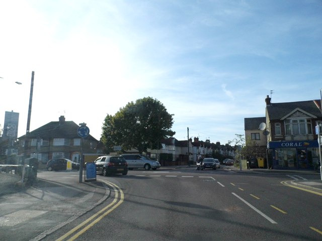
Image: © David Howard Taken: 6 Sep 2012
Hagden Lane is one of the worst roads to navigate in Britain, it turns three 90 degree corners and as you can see barely a signpost to be seen. There is rarely a time in the daytime when it's not jammed in one direction or the other, as it funnels all the traffic in and out of Watford from the west not heading to Croxley.
Images are licensed for reuse under creativecommons.org/licenses/by-sa/2.0
Image Location
Latitude
51.649107
Longitude
-0.413938