Erskine Hall care home, Watford Road
Introduction
The photograph on this page of Erskine Hall care home, Watford Road by David Howard as part of the Geograph project.
The Geograph project started in 2005 with the aim of publishing, organising and preserving representative images for every square kilometre of Great Britain, Ireland and the Isle of Man.

There are currently over 7.5m images from over 14,400 individuals and you can help contribute to the project by visiting https://www.geograph.org.uk
Erskine Hall care home, Watford Road
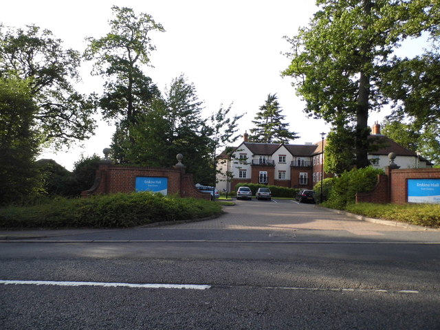
Image: © David Howard Taken: 6 Sep 2012
This is just before the border of London, while still in Northwood the area crosses both counties of London and Hertfordshire.
Images are licensed for reuse under creativecommons.org/licenses/by-sa/2.0
Image Location
Latitude
51.614193
Longitude
-0.412122