Lane at Downside Common near Cobham
Introduction
The photograph on this page of Lane at Downside Common near Cobham by P L Chadwick as part of the Geograph project.
The Geograph project started in 2005 with the aim of publishing, organising and preserving representative images for every square kilometre of Great Britain, Ireland and the Isle of Man.

There are currently over 7.5m images from over 14,400 individuals and you can help contribute to the project by visiting https://www.geograph.org.uk
Lane at Downside Common near Cobham
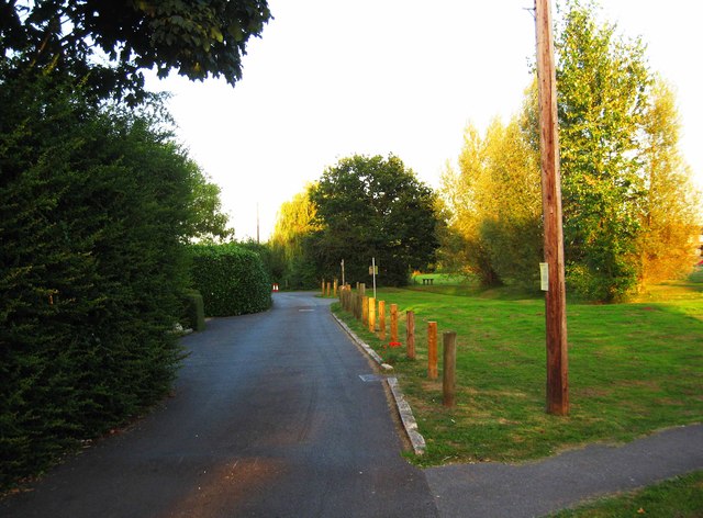
Image: © P L Chadwick Taken: 5 Sep 2012
The lane gives access to some houses and to the Cricketers, an old public house. The path on the right goes across the common.
Images are licensed for reuse under creativecommons.org/licenses/by-sa/2.0
Image Location
Latitude
51.311511
Longitude
-0.411975