Beacon Terrace
Introduction
The photograph on this page of Beacon Terrace by Alan Murray-Rust as part of the Geograph project.
The Geograph project started in 2005 with the aim of publishing, organising and preserving representative images for every square kilometre of Great Britain, Ireland and the Isle of Man.

There are currently over 7.5m images from over 14,400 individuals and you can help contribute to the project by visiting https://www.geograph.org.uk
Beacon Terrace
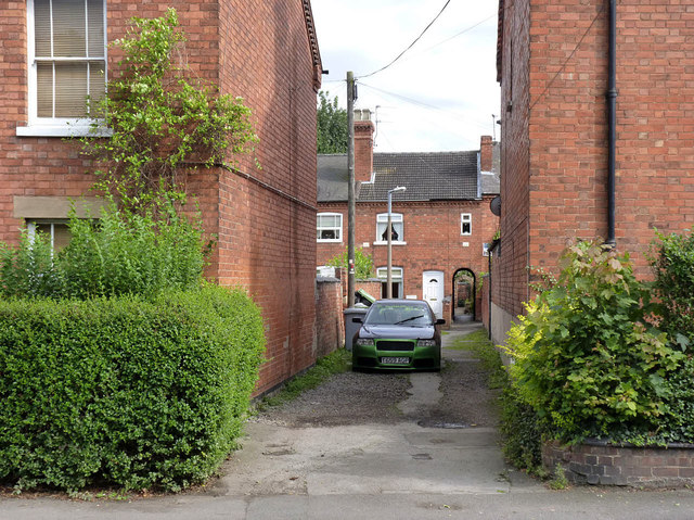
Image: © Alan Murray-Rust Taken: 31 Aug 2012
The alley leads to the terrace of houses with this name, set back behind Friary Road without any other road access. The bench mark illustrated here http://www.geograph.org.uk/photo/3116551 is on the gable wall on the left, hidden by the hedge.
Images are licensed for reuse under creativecommons.org/licenses/by-sa/2.0
Image Location
Latitude
53.077381
Longitude
-0.802783